Featured Field Experiences
Continental Divide Trail: (Summer 2019)
Geology Field Camp: (Summer 2017)
EES 323 - Geologic mapping in the field for a six-week period primarily based out of Gunnison, Colorado. Description, measurement, and mapping of a wide variety of rocks and structures, and analysis of geologic events in mountainous regions of the Rockies. Involves preparing intensive geologic field reports and maps under strict deadlines and in outdoor conditions.
June Lake, Eastern Sierra Nevada (CA): Applied Geophysics Class (Fall 2016)
A graduate level Applied Geophysics class spent a week at June Lake in the Eastern Sierra Nevada where I was a part of a team responsible for gathering seismic surveys (Chirp sonar and side scan of lake perimeter, collecting short and long cores from a UWITEC barge, collecting ponar lake surface sediment samples, water chemistry data, and terrestrial and aquatic shoreline vegetation samples. The data was used for a basin analysis project and interpreting the regional glacial lacustrine processes that are exhibited in this lake. In addition to field duties, I personally collected video and photo documentation of the trip that was later used for promotional purposes at events associated with the college. I also developed the geospatial figures using ArcGIS to visually illustrate geographic concepts surrounding the lake.
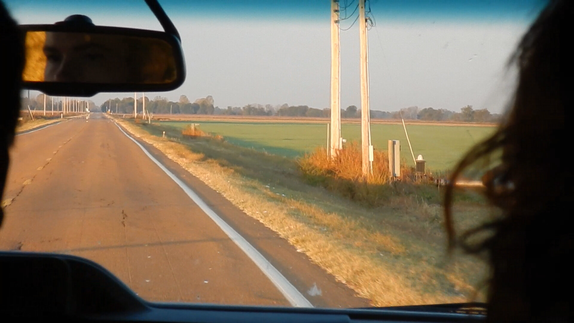
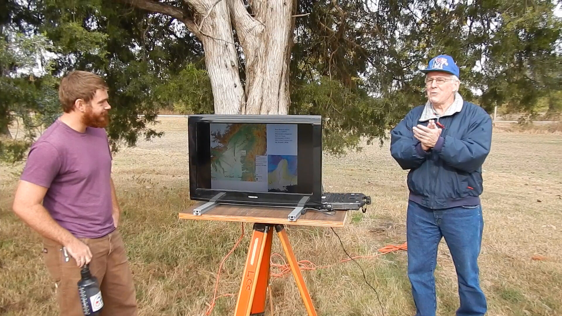
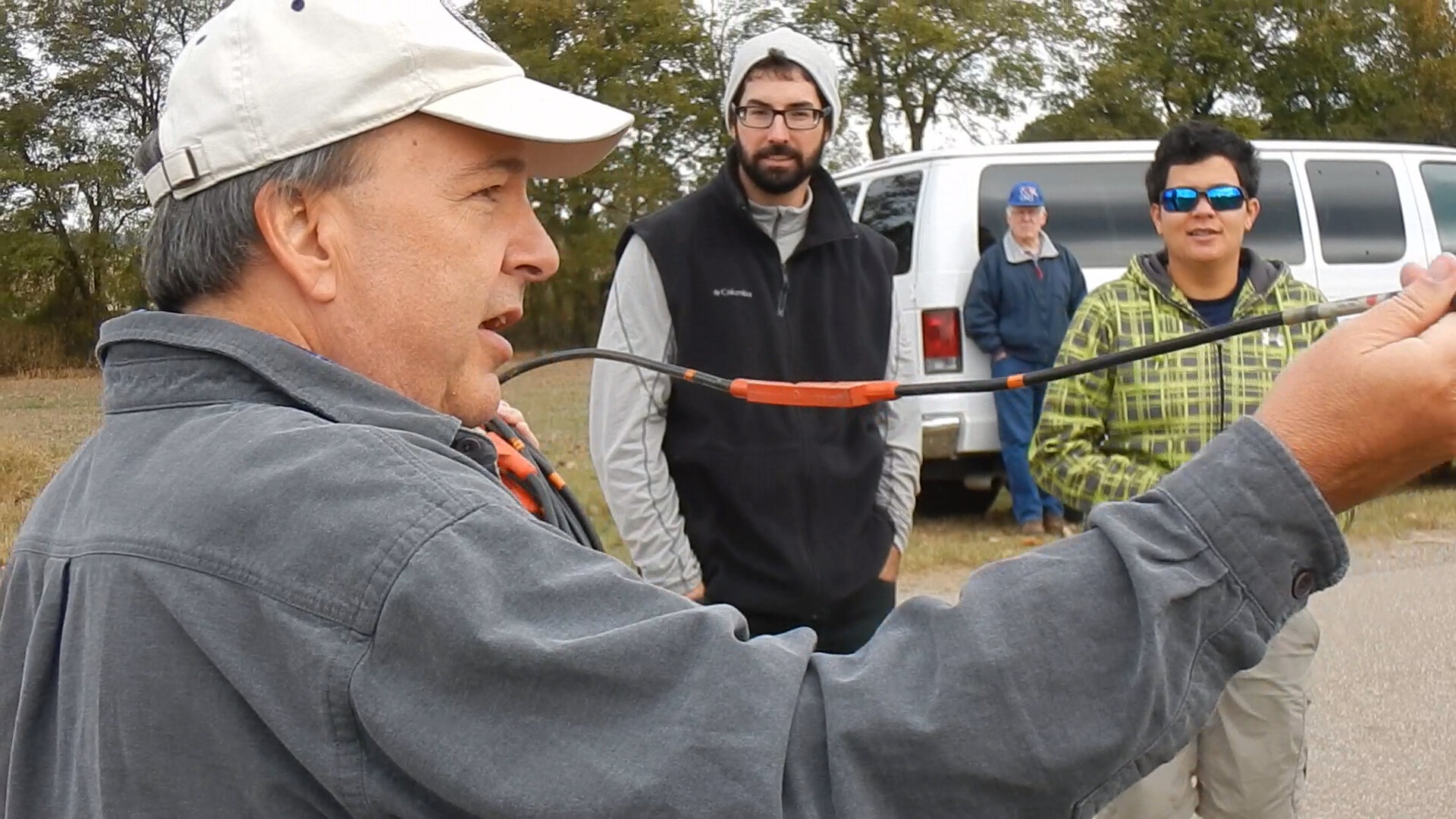
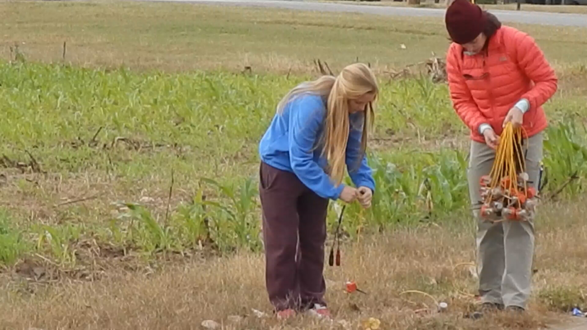
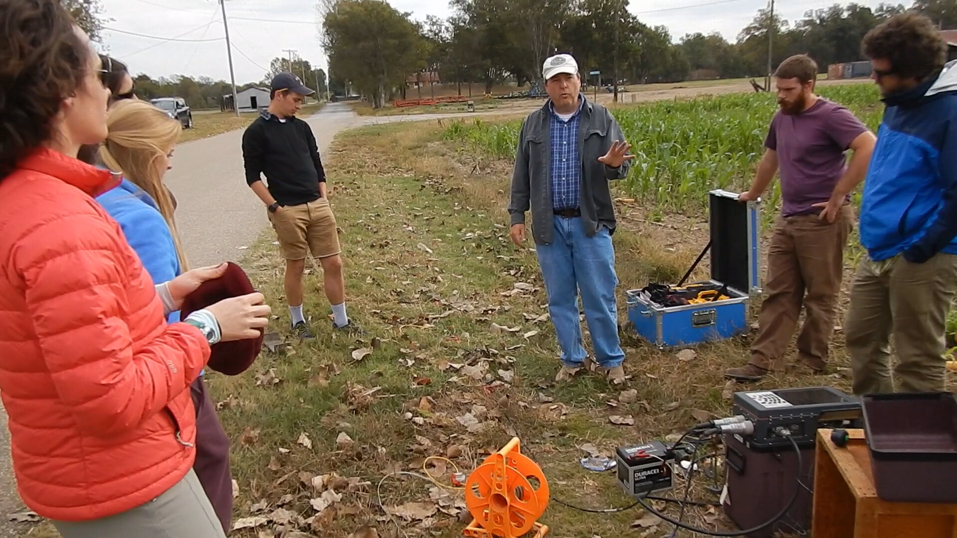
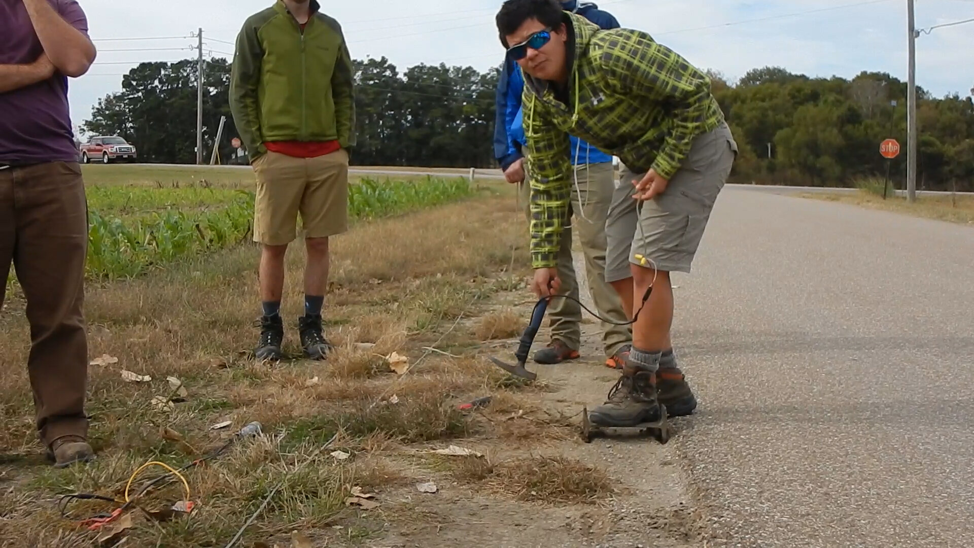
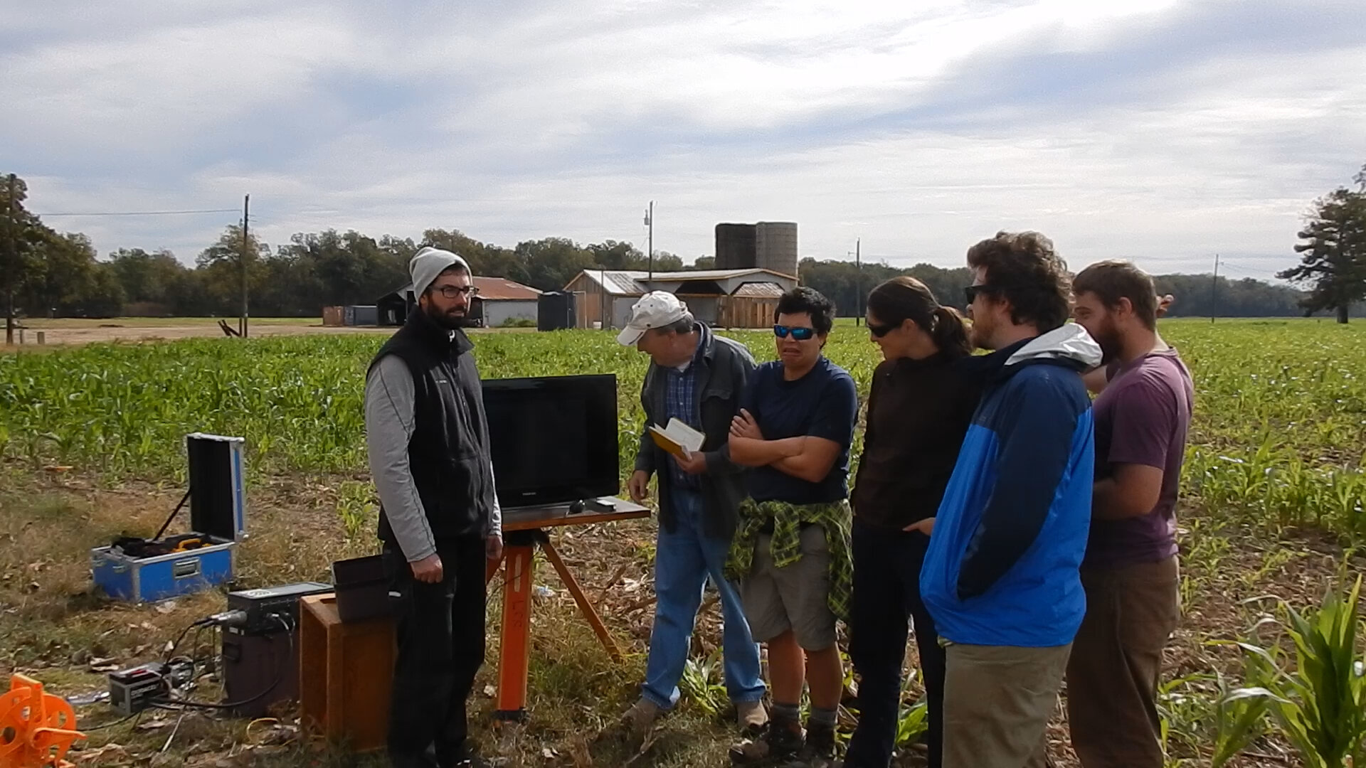
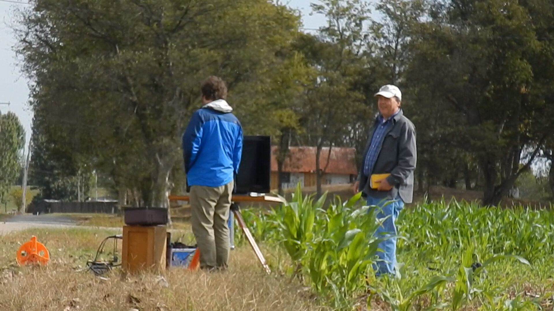
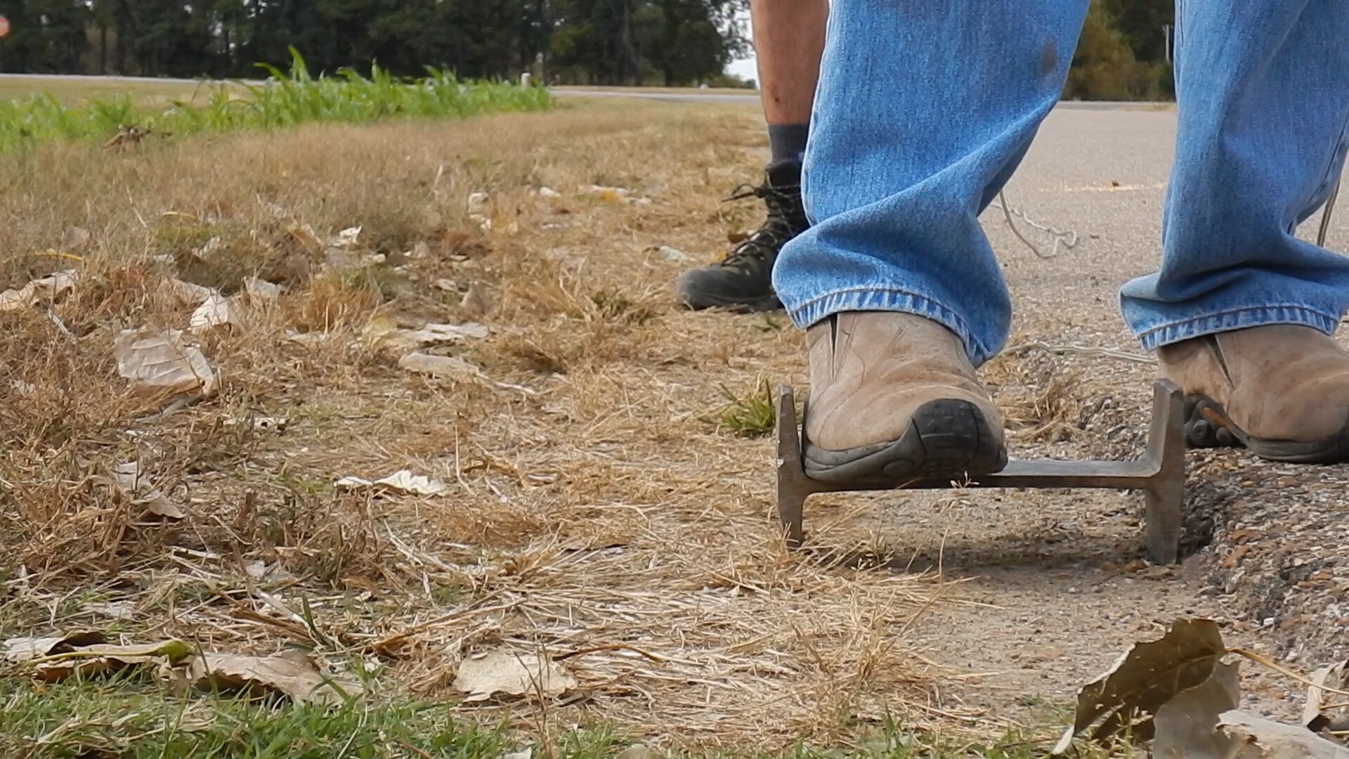
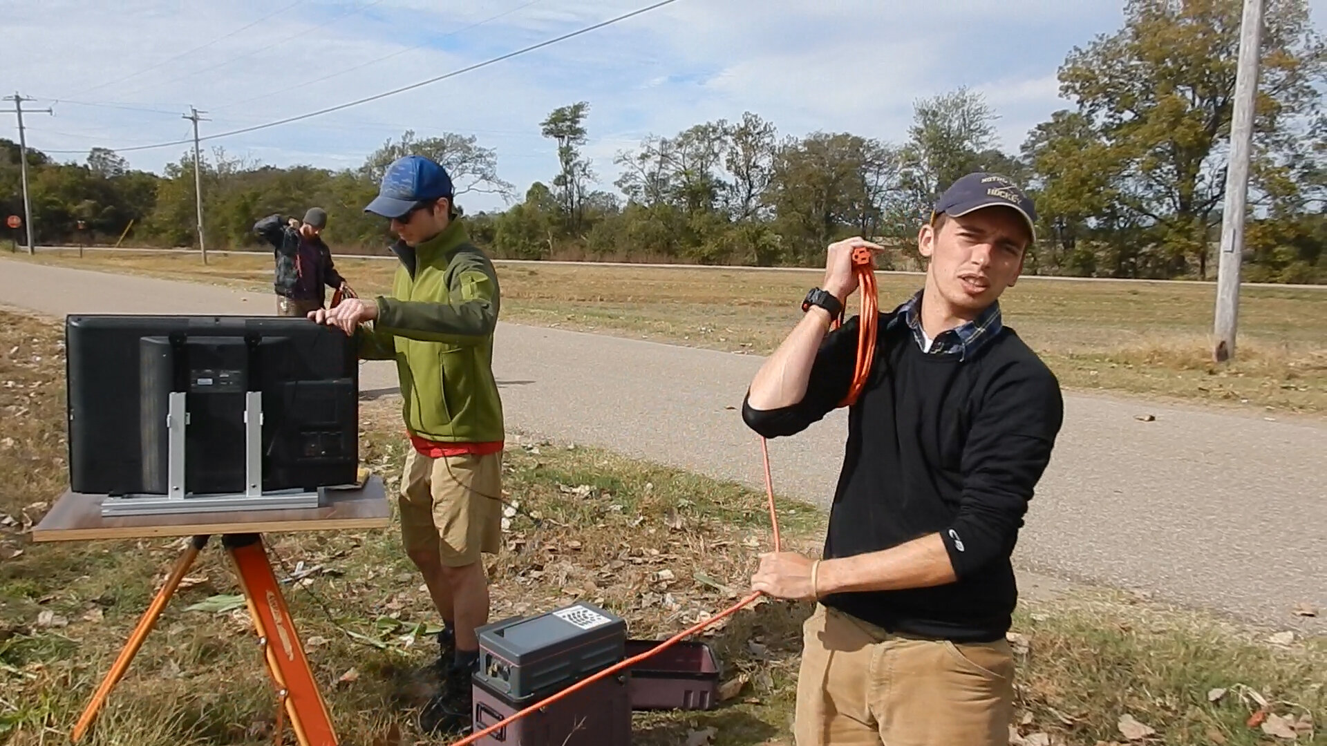
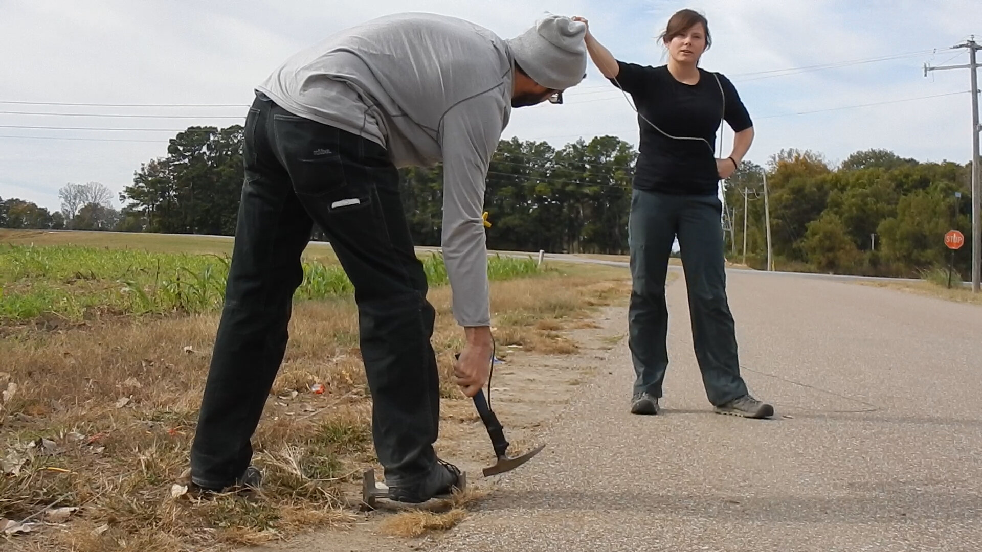
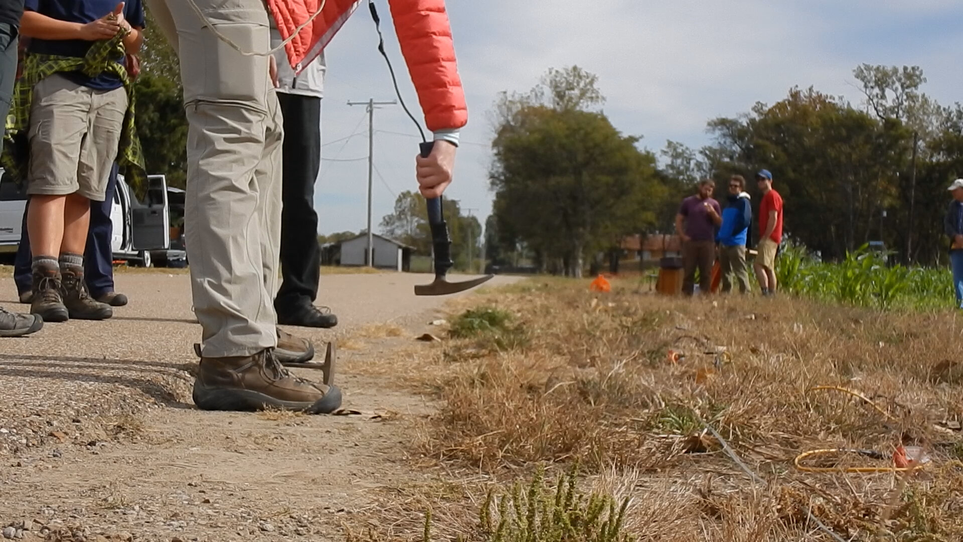
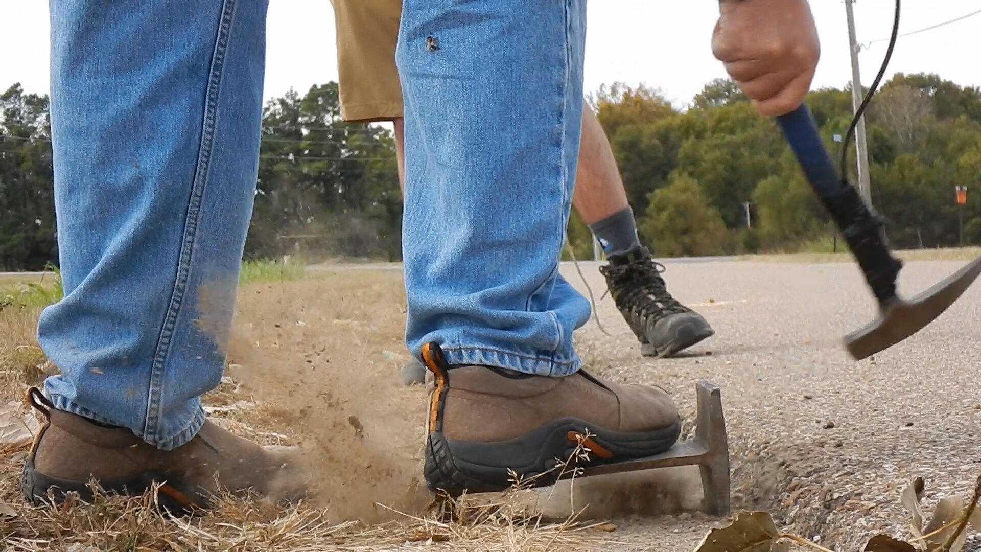
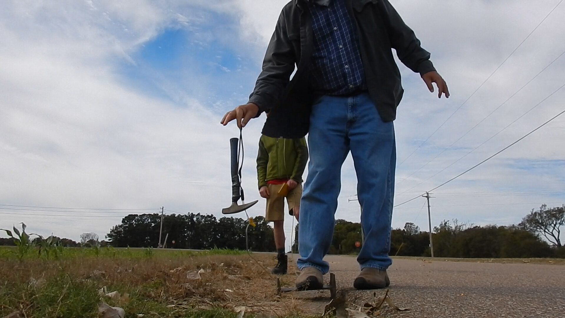
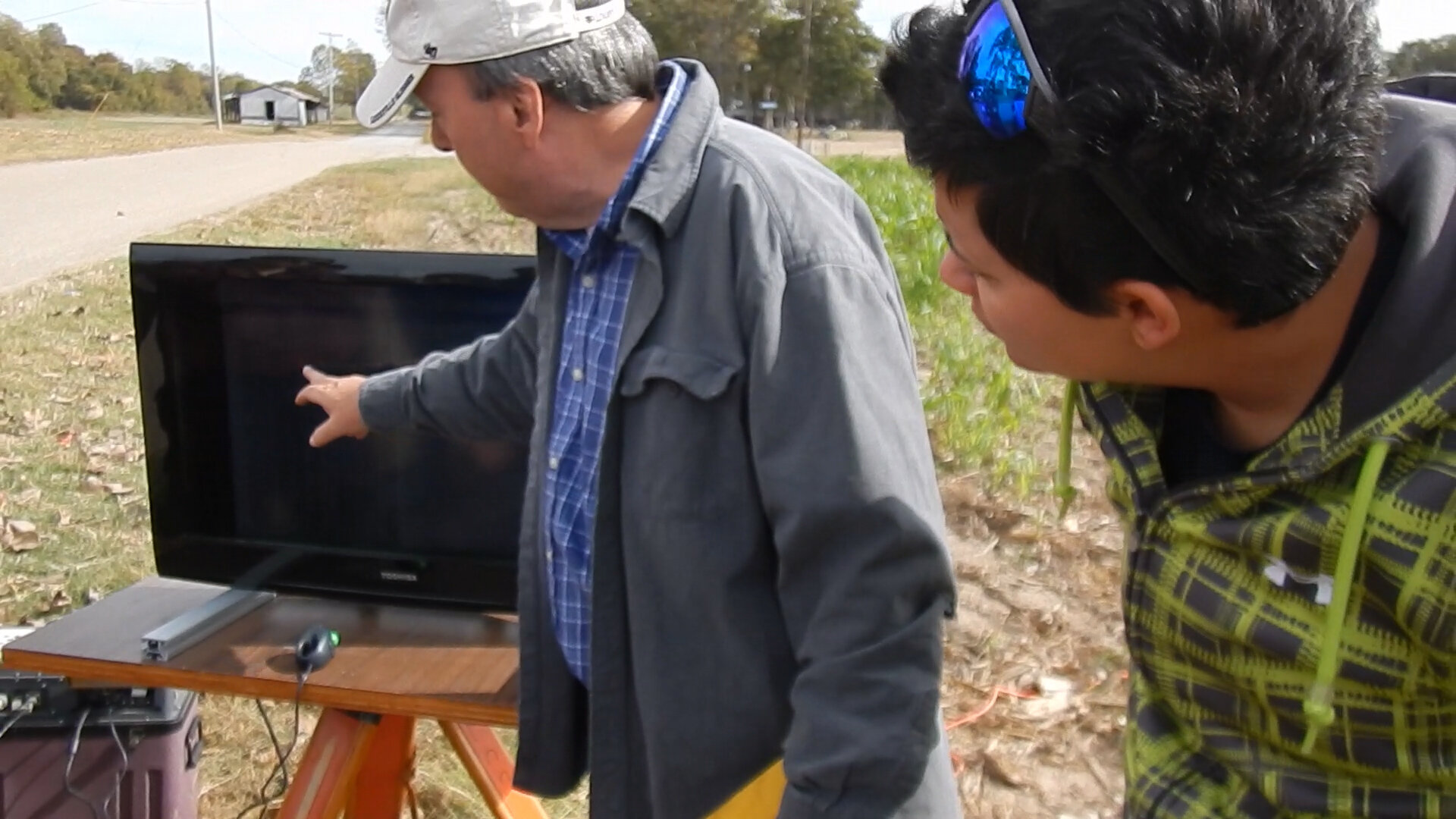
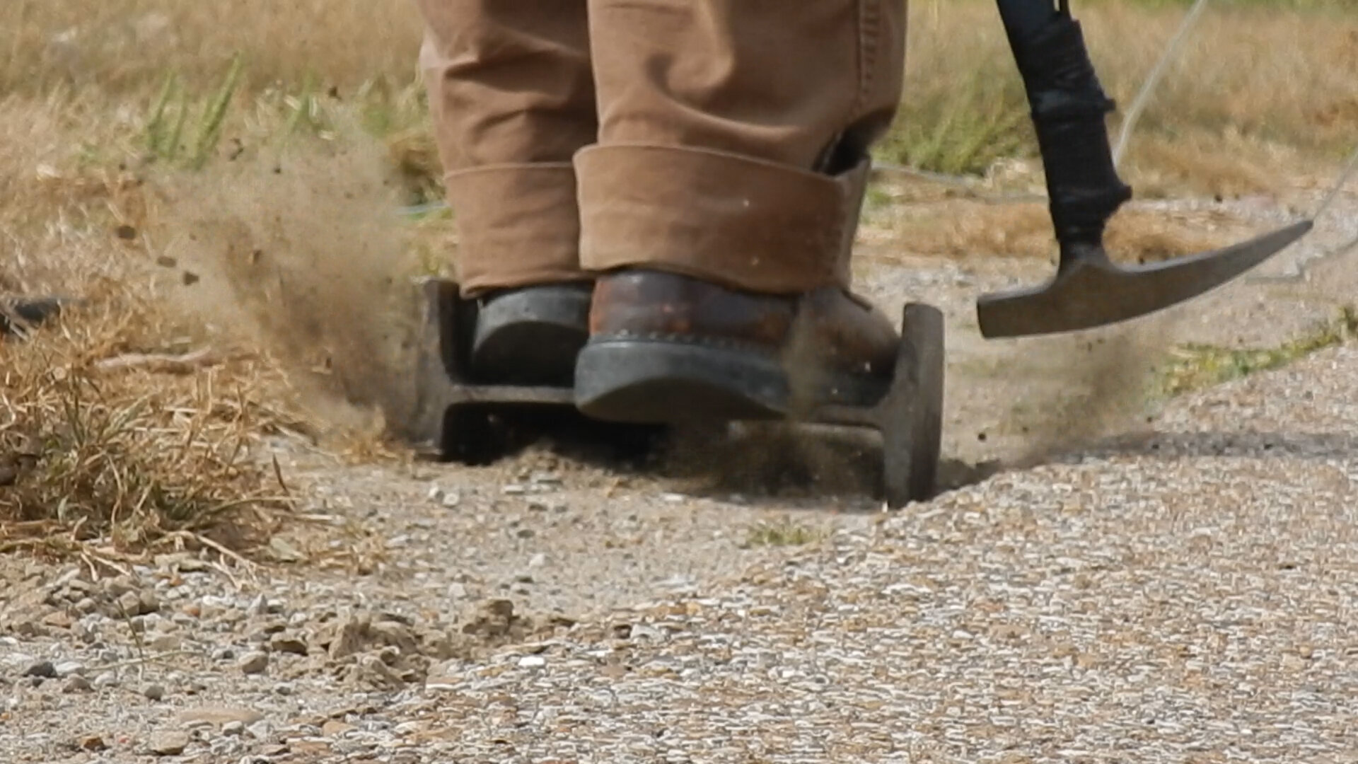
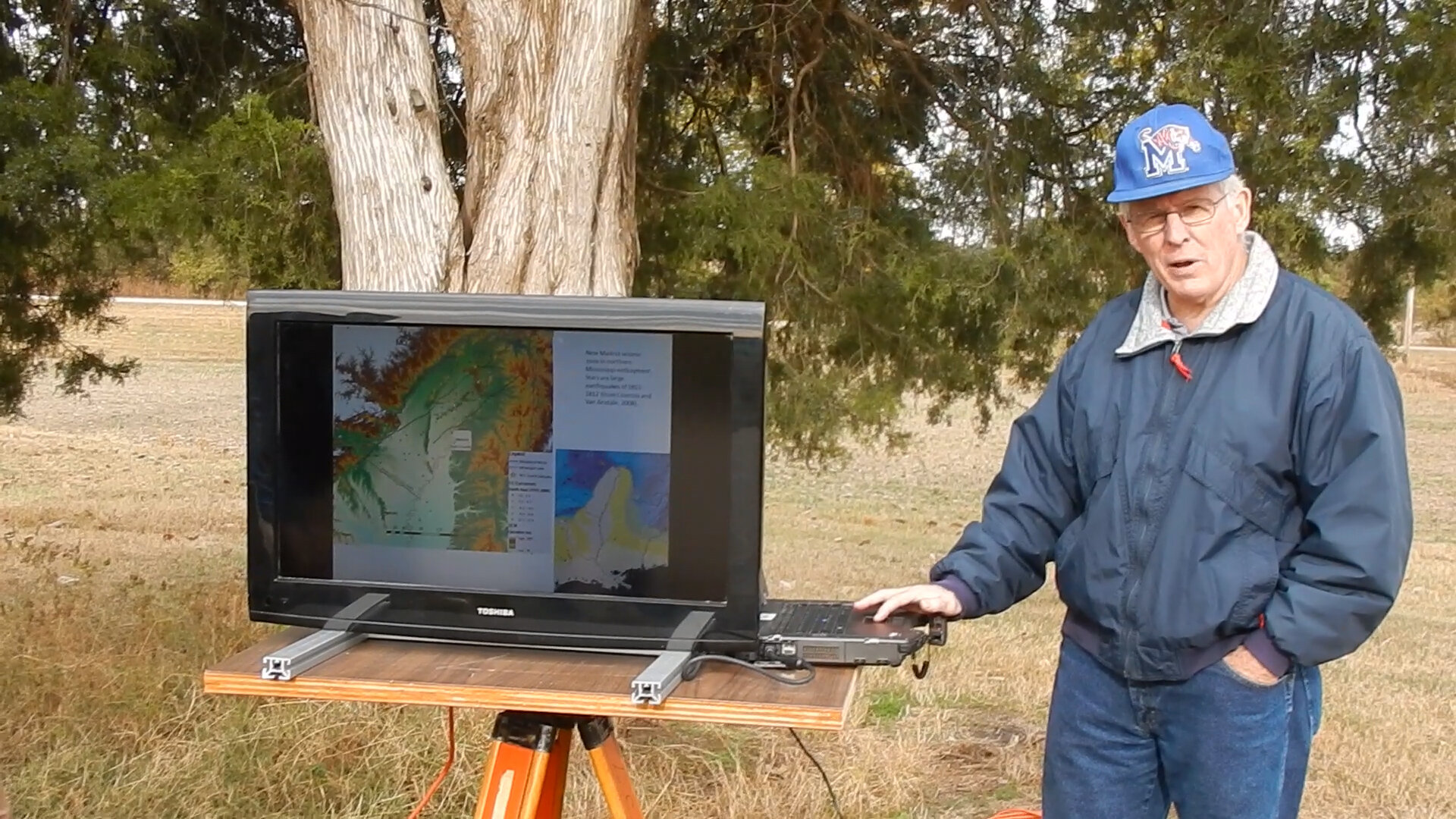
Seismic Survey of the Arkansas Lowlands (Meeman-Shelby): (Fall 2016)
Trenching at Bald Head Island: (Spring 2016)
Field experience acquired at the outer banks of North Carolina on Bald Head Island where the class spent a week studying the occurrence and depositional processes of modern and ancient clastic shorelines and estuaries. Duties involved trenching the shoreline and coastal dunes to create a full transect.
Coring and Seismic Surveying at Convict Lake, Eastern Sierra Nevada (CA): (Summer 2018)
A team of graduate students and myself (titled Field Technician) under the direction of paleolimnologists and seismologists spent 4 weeks on Convict Lake of Mammoth Lakes, California in the Eastern Sierra Nevada collecting seismic surveys, long cores from a UWITEC barge, ponar lake surface sediment samples, and water chemistry data. The lake sediment data collected was representative of 16,000 years of environmental change and was analyzed and interpreted to reconstruct the changes in climate and vegetation in the Eastern Sierra Nevada.
